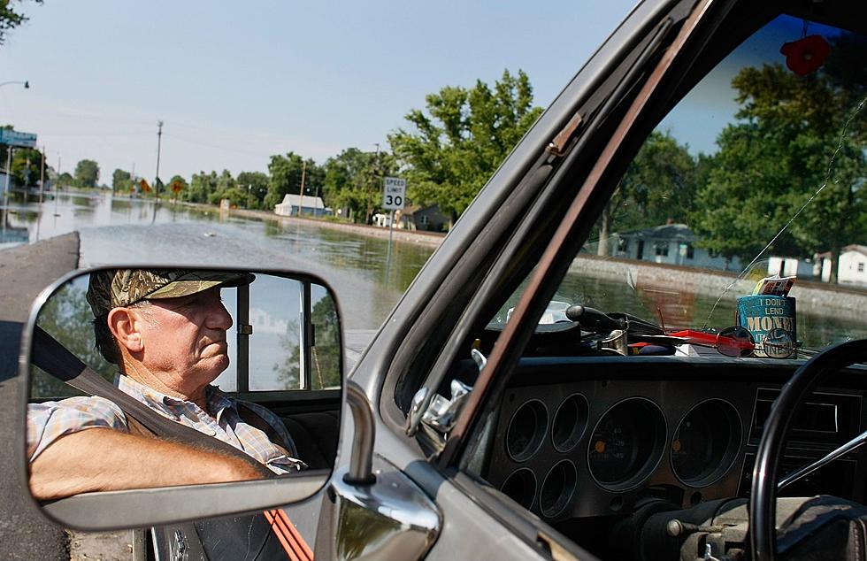
You’ve Got to See These Photos and Videos of the Boise River Flooding
This winter's been rough for the people who love to walk, run or cycle on the Boise Greenbelt. It seems like just days ago that the snow finally melted enough for people to enjoy using it again and now? A good chunk of the of the Greenbelt is under water.
And it's about to get worse. Another planned release should make the could bring the river flow to 7,000 cubic feet per second, bringing the river to flood stage near the Glenwood Bridge. The US Army Corps of Engineers has been releasing additional cfs per day to help reduce the amount of spring flooding when the abnormal amount of snow at higher elevations begins to melt.
I had the chance to mentor a half marathon training group that's been preparing for the Shamrock Shuffle on Saturday. When we did our final long run on the course two weeks ago, we were amazed how high the water was near Reid Merril Park and the Greenbelt in Eagle. We also didn't expect to see some pretty deep water at Glenwood just days after the first release of water from Lucky Peak.
Portions of the Greenbelt are closed near the Cottonwood Apartments and Bethine Church River Trail, near Logger Creek under the west Parkcenter Bridge and the Main Street tunnel heading toward Esther Simplot Park. In Eagle, it's closed at the Eagle Road underpass.
Haven't had the chance to get up close and personal with the river as it's rising like my teammates and I did? Check out these photos and videos people have caught along the Greenbelt!
More From 103.5 KISS FM


